Services

Accurate Digital Deliverables from Survey & Scan Data

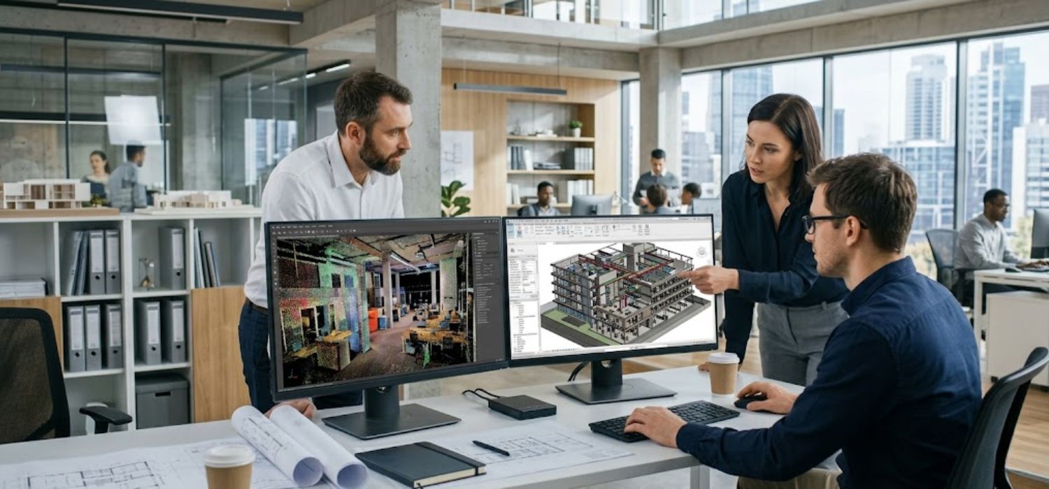
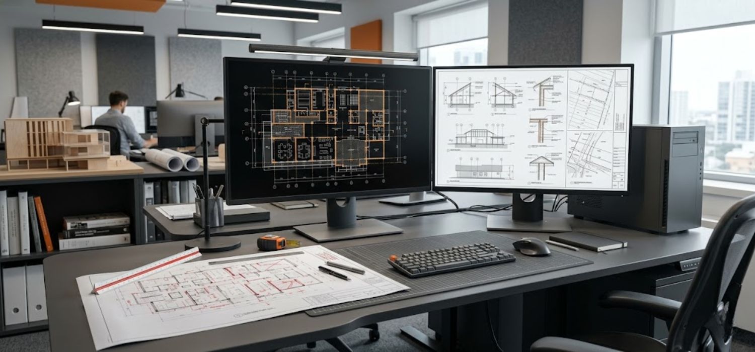
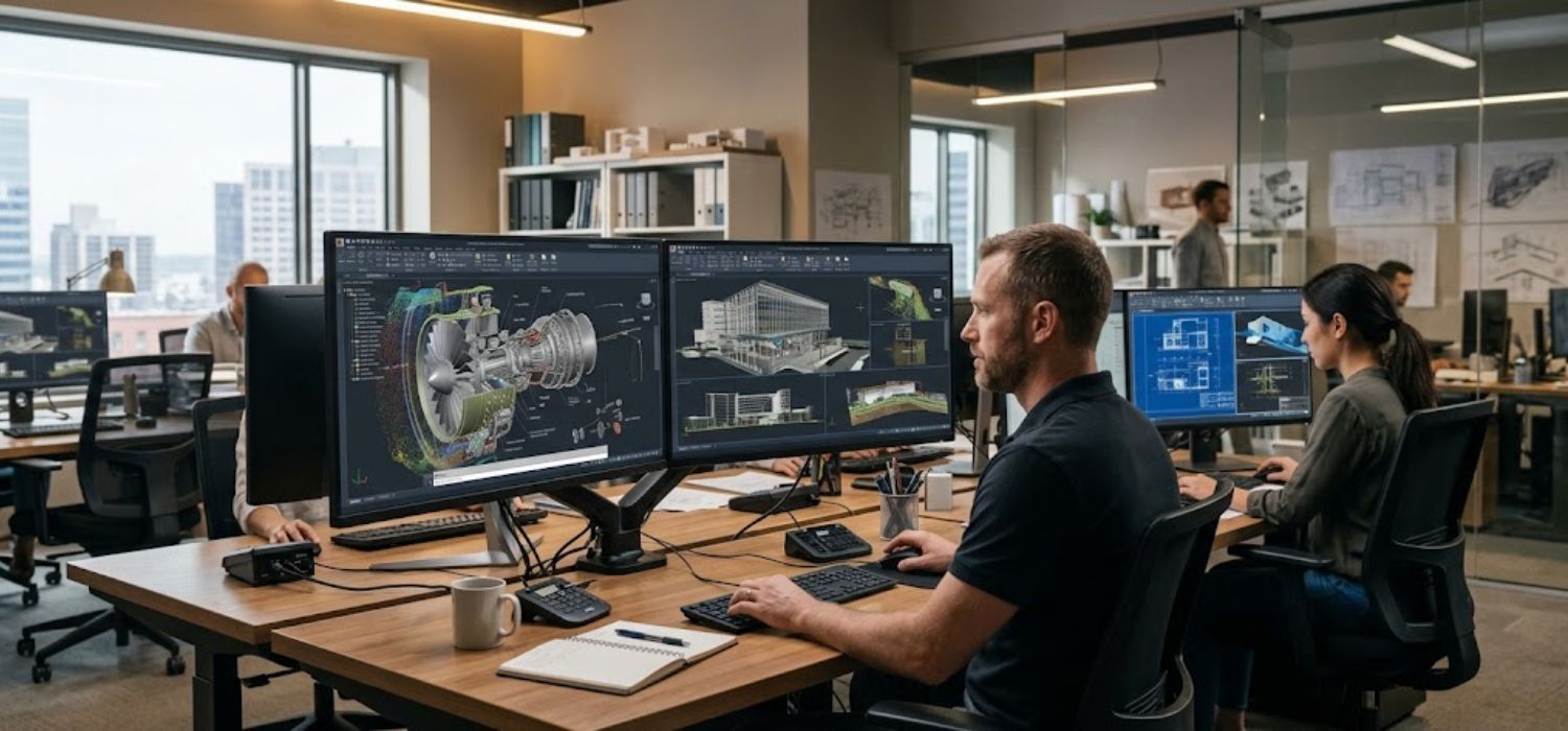
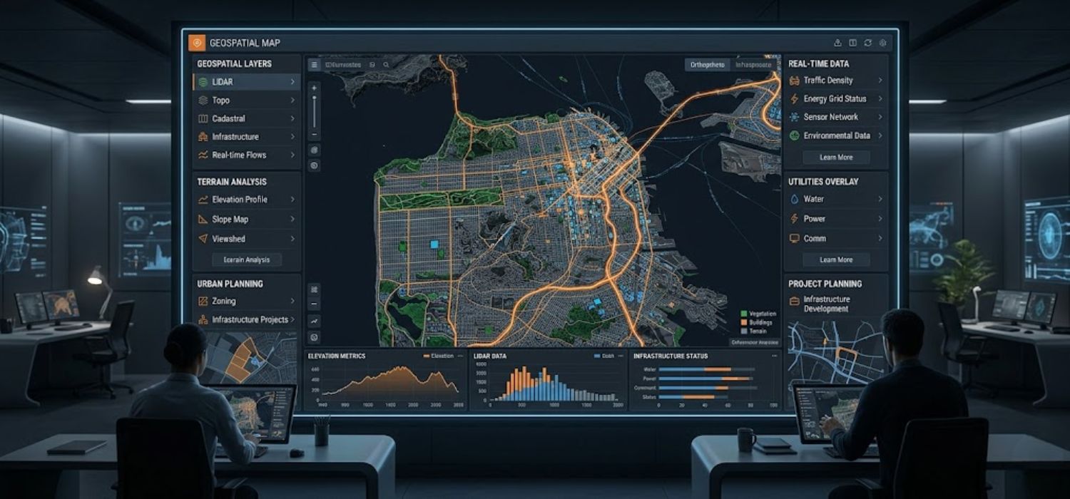
Aaira 3D provides specialized scan-to-modeling solutions that convert point cloud and survey data into BIM models, CAD outputs, technical drawings, as-built documentation, BIM consulting, and digital engineering deliverables for efficient project planning, coordination, and execution.

3D laser scanning

Scan to BIM

Convert point cloud data into intelligent BIM models for planning, coordination, and project workflows.
3D laser scanning

Scan to 2D Drawings

Create accurate floor plans, elevations, sections, ceiling plans, and technical 2D documentation.
3D laser scanning

Scan to 3D CAD Models

Develop precise 3D CAD models for architecture, engineering, and industrial project execution.
3D laser scanning

GIS Solutions

Deliver geographic data solutions including LiDAR classification and mobile mapping for smarter planning.

Ready to Transform Your Survey Data into Actionable Deliverables?

Partner with Aaira 3D for BIM, CAD, GIS, and digital engineering solutions tailored to your project requirements.